@acrosstheuniverse501
The Trekking of Giants: the Alta Via n. 1 of Valle d’Aosta
Intermediate Trekking Multi-day

Valle d'Aosta, Italia

The Trekking of Giants: the Alta Via n. 1 of Valle d’Aosta

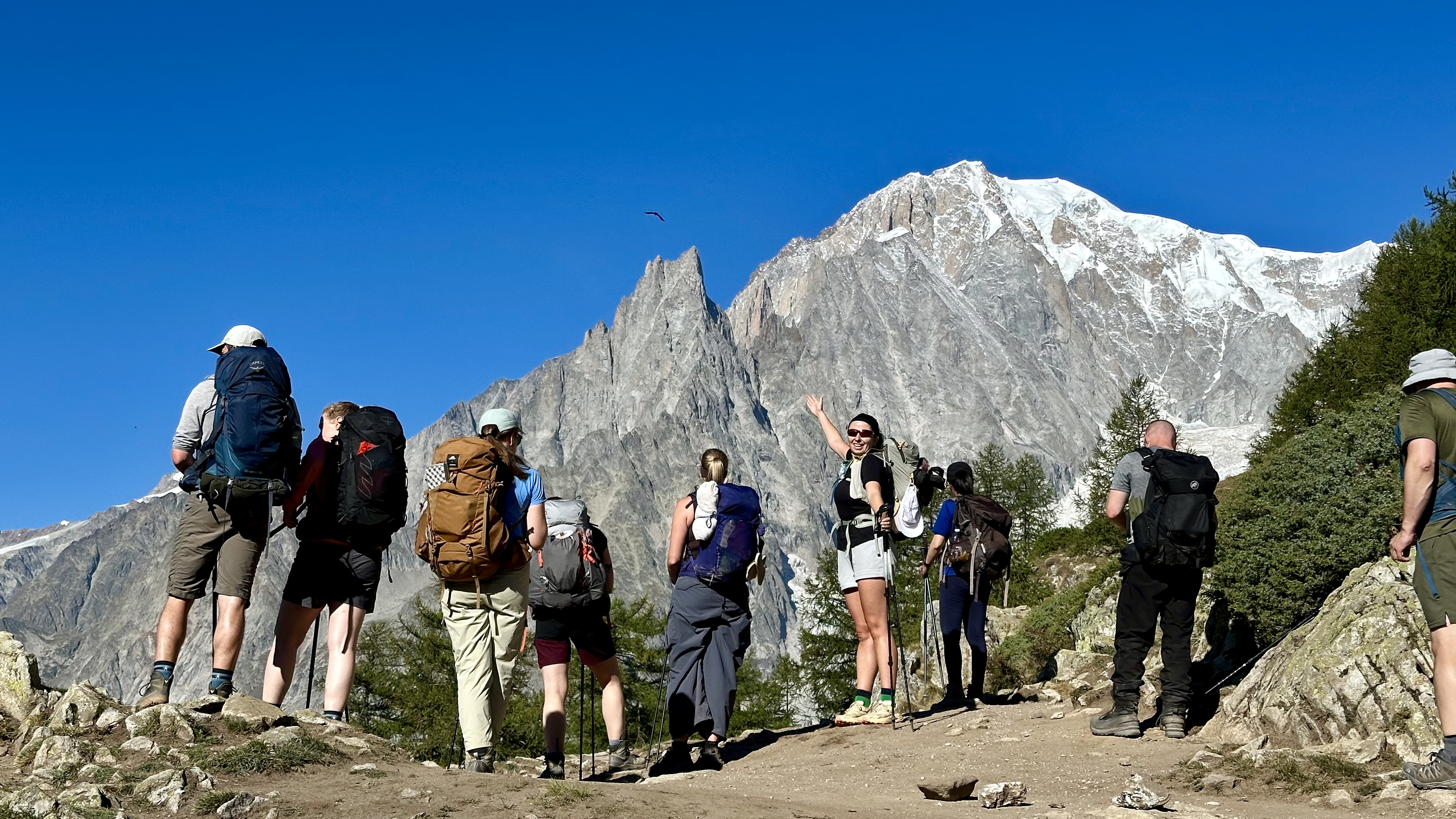
A hiking journey that connects the two iconic mountains of the Alps: the Matterhorn and Mont Blanc. Off the tourist trails and away from the chaos. Nature, wild.

Book a free call →

Duration

8 giorni

Distance

101 km

Season

15 Giugno - 30 Settembre

The experience

A hiking journey that connects the two iconic mountains of the Alps: the Matterhorn and Mont Blanc. Off the tourist trails and away from the chaos. Nature, wild.

8

8 giorni

8 giorni di trekking, 2 giorni di spostamenti

Required level

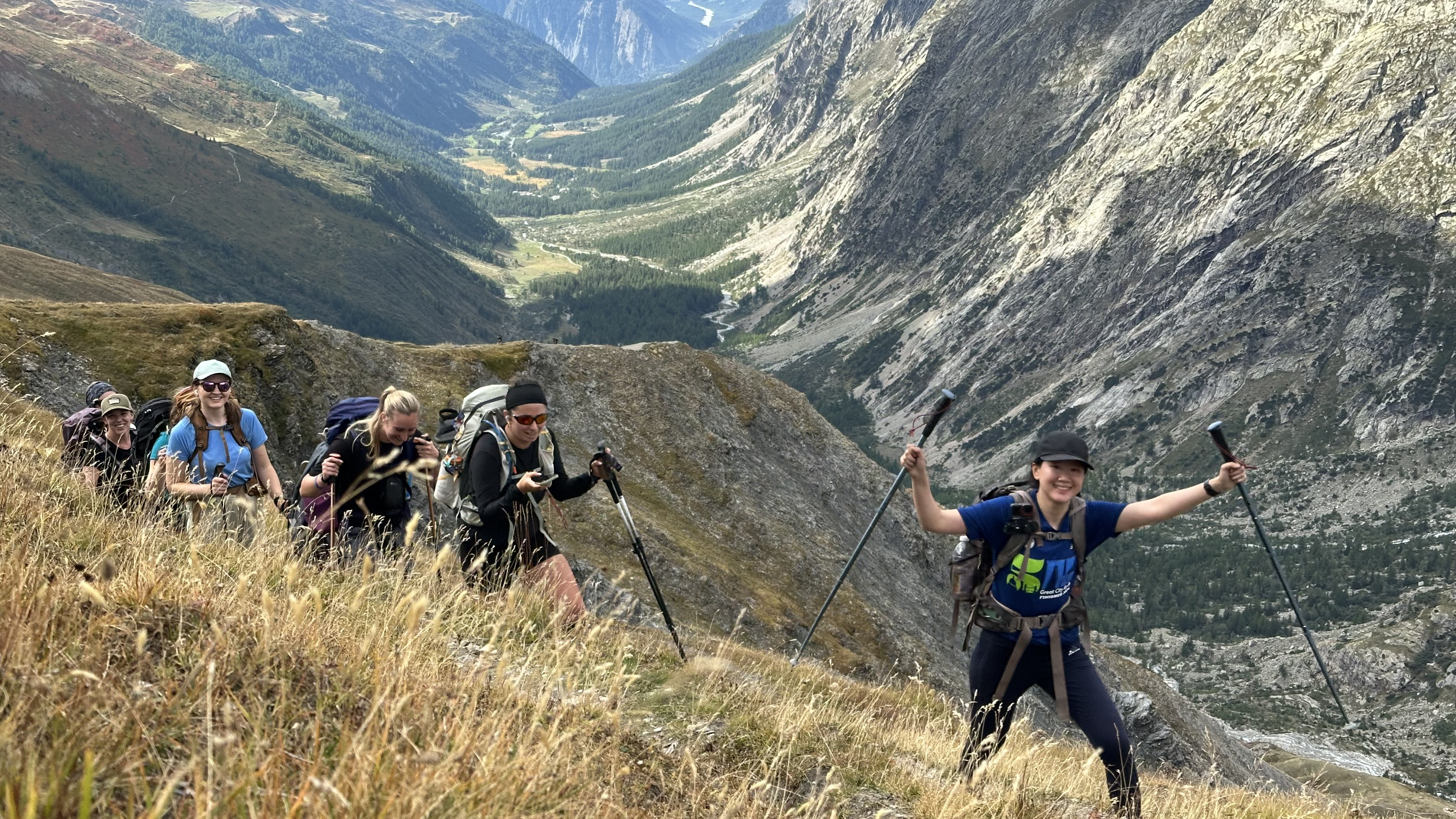
Experience an 8-day trek along the Alta Via n.1 in Valle d’Aosta, a route that traverses some of the most picturesque valleys in the region. The path connects 2 of the most iconic peaks of the Alps: starting from the Matterhorn and reaching Mont Blanc. You will walk among lakes, silent woods, and in the presence of imposing glaciers, alternating challenging ascents with moments of pure tranquility. Each stage offers new glimpses of glaciers and stunning peaks, with welcoming huts or alpine villages waiting for you at the end of the day. Perfect for those who love authentic mountains, this journey combines adventure and daily beauty: six days of intense nature, step by step towards Courmayeur and memories that last.

Highlights

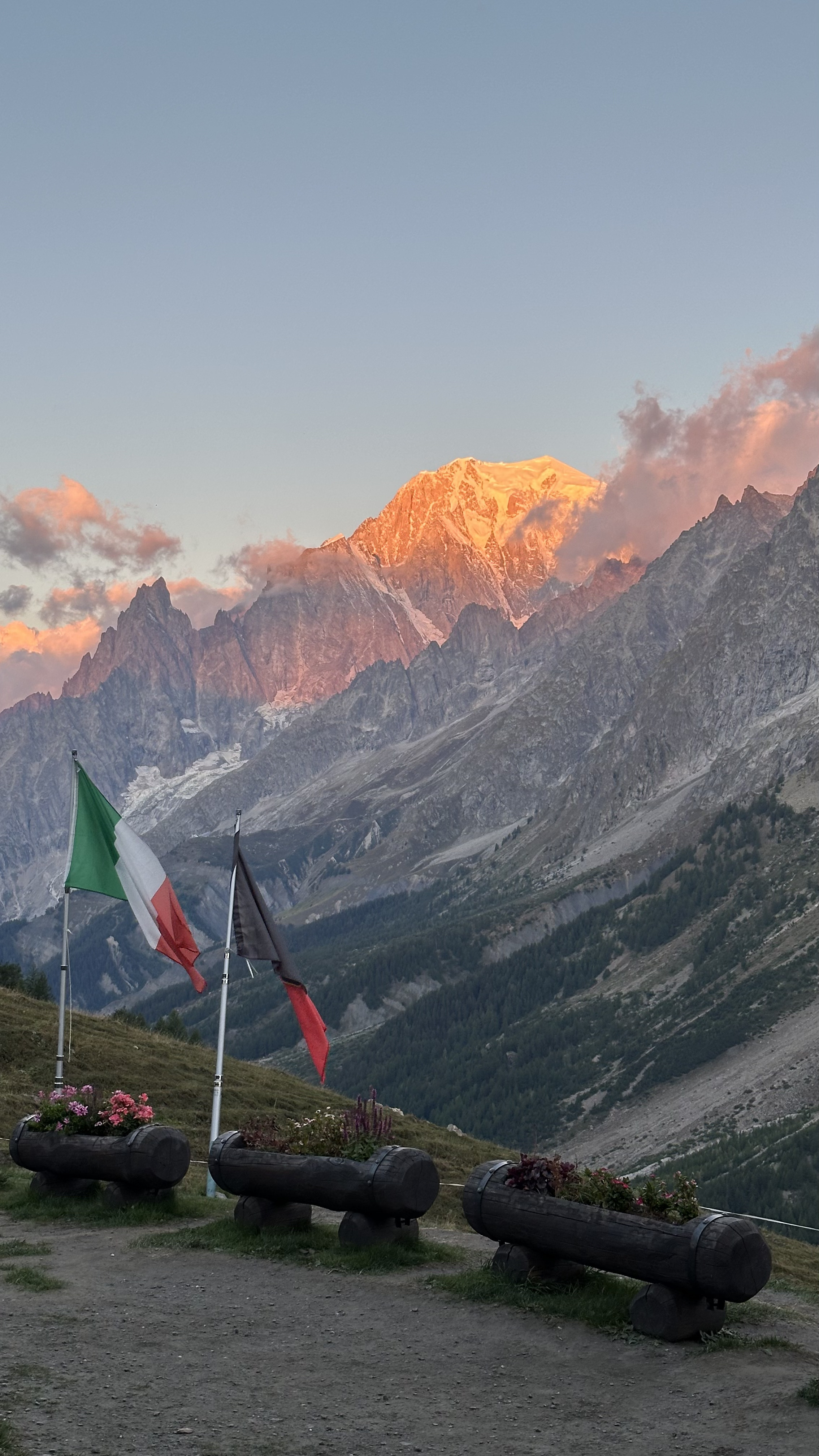
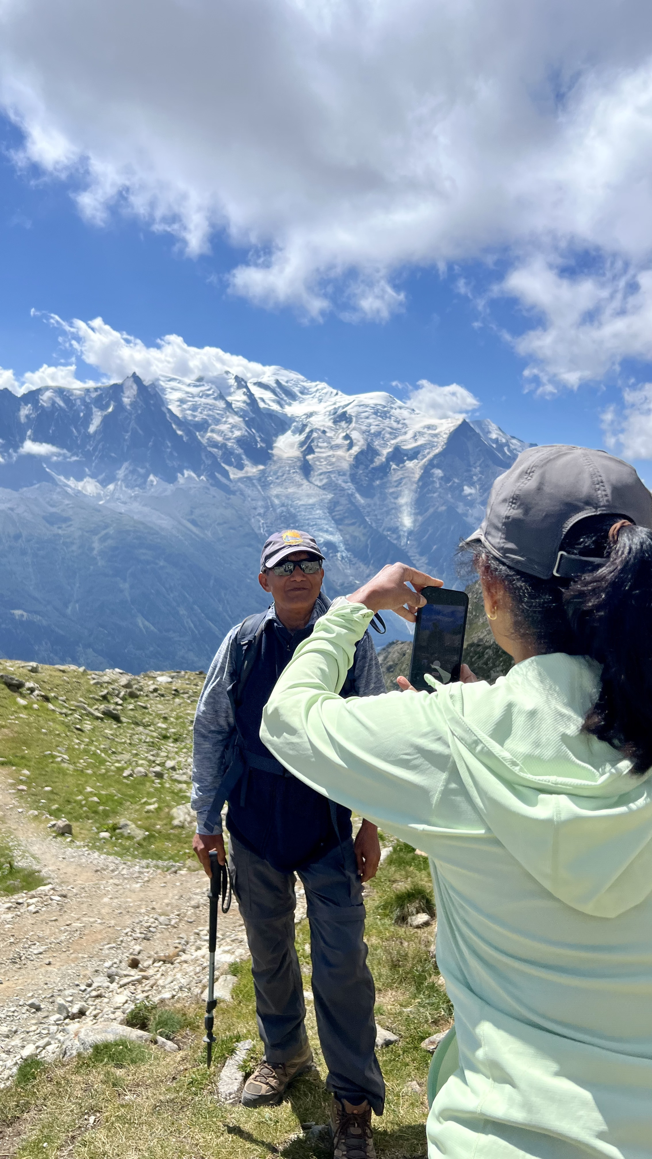
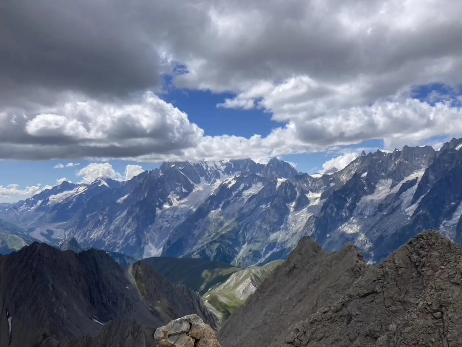
You will have the opportunity to admire the two iconic peaks of the Alps: the Matterhorn, with its unmistakable profile, and Mont Blanc, the highest summit in Europe.
An authentic mountain experience: refuges, historic trails, and the simple pleasure of walking immersed in the silence of the Aosta Valley.
A balanced and rewarding challenge: six demanding yet accessible days, culminating in a arrival in Courmayeur that feels like a true conquest.

Quick info

Type Trekking
Difficulty Intermediate

Designed for practitioners with decent fitness and some prior experience. Includes moderate elevation changes, sometimes rough terrain or longer daily stages. Requires good energy management and basic technical ability to handle small natural obstacles or uneven road sections.

Duration 8 giorni
Season 15 Giugno - 30 Settembre
Group max. 10 persons

Interested?

Book a free call with Matteo

Book a call
Gallery
The Trekking of Giants: the Alta Via n. 1 of Valle d’Aosta
Detailed program
1

Aosta - Rifugio Barmasse (2150 m)

5 km 2 ore

The meeting point will be on the morning of the first day in Aosta. From here, we will take a bus to Chatillon and then a connection that will take us to the picturesque village of Valtournanche. From here, we will start our first ascent to the Rifugio Barmasse at 2150 m.

2

Rifugio Barmasse - Rifugio Cuney (2650 m)

16 km 7 ore

A substantial stage of 16 km towards the Rifugio Cuney. Overcoming the Col Terray at 2750 meters, we will face a positive elevation gain of 1300 meters. The route offers wild and spectacular views of the Aosta Valley, concluding with a well-deserved night in the refuge with half board.

3

Rifugio Cuney - Oyace (1400 m)

15 km 6 ore

A scenic stage of 15 km from the Rifugio Cuney to Oyace. You will ascend to the 2800 meters of the Col de Vessonaz and then tackle a steep and challenging descent of 1800 meters of elevation. The day concludes in a hotel in Oyace.

4

Oyace - Ollomont (1400 m)

13 km 6 ore

A 13 km stage from Oyace to Ollomont through the 2500 meters of the Col de Brison. We will face a balanced elevation gain of 1100 meters, between steady climbs and technical descents, before rejuvenating ourselves with half board in a comfortable accommodation.

5

Ollomont - Etroubles (1300 m)

16 km 8 ore

An intense 16 km stage from Ollomont to Etroubles, surpassing the 2700 meters of the Col de Champillon. With 1600 meters of ascent and a steep descent, the route offers unique glimpses before resting in a hotel in the medieval village.

6

Etroubles - Rifugio Frassati (2452 m)

14 km 6

A constantly ascending stage of 14 km from Etroubles to the Rifugio Frassati. Climbing the valley along the path, we will overcome 1200 meters of positive elevation immersed in a high-altitude landscape, and then enjoy the warmth and half board in the refuge.

7

Rifugio Frassati - Courmayeur (1200 m)

20 km 6

The final stage of 20 km from the Rifugio Frassati to Courmayeur. After a 700-meter ascent, we will face a long descent of 2000 meters, which can be shortened thanks to a free shuttle halfway. Arrival at the hotel in Courmayeur, with a free dinner in the town.

8

Courmayeur

Final day in Courmayeur for relaxation in the town or optional trekking at the foot of Mont Blanc. For the return, convenient buses connect the location to Aosta in about an hour, or to Geneva in an hour and a half of scenic travel.

What's included

✓ Included

● Supervision and advice from the Guide before the trip.
● Photographic reportage with professional equipment (Action cam).
● Accompaniment by an experienced guide for the days of the program.

✕ Not included

● Public transport during the trip.
● Participants' car transfers from their homes.
● Lunches and various drinks purchased along the route.
● Overnight stays in refuges and affiliated structures.
● Everything not specified in the costs included.

Supplements on request

+ Luggage transport.
+ Extra trekking days.
+ Other complementary activities such as Mountain Biking, Rafting, or Paragliding.
Accommodation

Planned accommodation

Le sistemazioni durante il tour saranno in rifugi alpini situati direttamente lungo il percorso. Poiché la disponibilità è limitata, faremo sempre del nostro meglio per garantire le soluzioni più adatte, assicurando comfort e accoglienza per tutti i partecipanti.
Tour info

Attrezzatura personale

• Zaino da 30–40 litri con cintura ventrale (più coprizaino antipioggia)

•⁠  ⁠Sacco lenzuolo personale (cotone o seta) — obbligatorio nei rifugi alpini. Cuscini e coperte sono forniti dai rifugi

• Occhiali da sole e crema solare (SPF 50+ consigliata in quota)

• Snack personali preferiti per il trekking

• Borraccia con capacità totale di almeno 2 litri

• Gel igienizzante per le mani

• Articoli per l’igiene personale e piccolo kit di primo soccorso personale

• Asciugamano

• Costume da bagno

• Contanti (EUR) per bevande, snack lungo il percorso, mance ecc.

• power bank per ricaricare dispositivi

• Lampada frontale

⸻

Abbigliamento

• Giacca impermeabile con cappuccio e pantaloni impermeabili

• Giacca calda (es. Primaloft) o piumino

• Pile

• Strati base in sintetico o merino

• Cappello caldo e guanti (fondamentali con meteo variabile)

• Cappello o visiera per il sole

• pantaloni/short da trekking

• Abbigliamento comodo per i rifugi dopo la camminata

• Minimo 2 paia di calze da trekking in lana o sintetico (no cotone)

• Scarponi o scarpe da trekking robuste e già rodate

• Scarpe leggere e comode per il rifugio
FAQ

FAQ

What level of fitness is required?

The trekking does not present technical difficulties, but a good level of training is necessary to complete the entire itinerary. Participants should be accustomed to walking for several hours on mountain trails and able to carry a backpack throughout the day.

What happens in case of bad weather?

In the mountains, the weather can change rapidly. In the event of a brief thunderstorm, it is sufficient to wear waterproof gear and continue or seek shelter. If conditions become risky, the guide may cancel the stage and, when possible, use public transport to safely reach the next one.

Are there dangerous animals in the Alps?

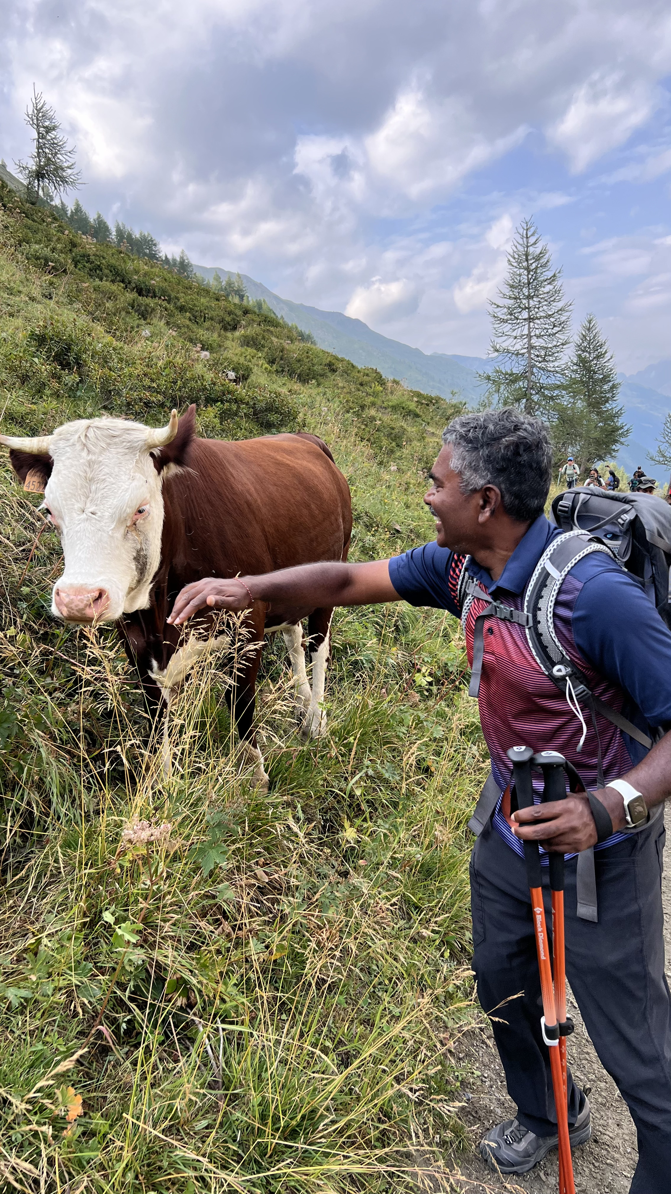
In the Western Alps, there are no large predators that pose a danger to humans. Wolves are very shy and sightings are rare; there have never been recorded attacks. The potentially most risky animal along the route... is the cow!

Difficulty levels

Easy

Ideal for those seeking relaxation or beginners. Features short routes on stable and regular terrain, with gentle gradients and low physical effort. Perfect for families, occasional cyclists and walkers who want to enjoy nature without technical stress.

Intermediate This tour

Designed for practitioners with decent fitness and some prior experience. Includes moderate elevation changes, sometimes rough terrain or longer daily stages. Requires good energy management and basic technical ability to handle small natural obstacles or uneven road sections.

Difficult

Reserved for well-prepared athletes seeking a challenge. Characterized by sometimes steep gradients, technical sections, unstable surfaces and long distances. You need to be able to walk up to 7 hours with a backpack or cycle up to 130 km in a day. Requires excellent physical endurance, perfect knowledge of your equipment and the ability to adapt in often isolated or harsh environments.

You might also like

Book

Ready to go
to Valle d'Aosta, Italia?

Fill in the form to book a free call with Matteo Stella. He'll tell you everything about the tour and together you'll plan the perfect trip.

No commitment · 30 minutes chat with Matteo Stella · No payment required

The Trekking of Giants: the Alta Via n. 1 of Valle d’Aosta

8 giorni · Intermediate

Book →